Case Studies

iPAVe: National Transport Research Organisation (NTRO)

Australia

Assisting in managing the flood recovery in Victoria.

Learn more about the ARRB Systems solutions utilised in this case study:

8,500 km

Since 2022

Overview

The National Transport Research Organisation NTRO (formerly known as ARRB) provides innovative and impactful mobility solutions for government and private sector clients in Australia and New Zealand, working across all modes of transport – road, rail, ports and airports.


NTRO victoria flood case study

The Impact of Natural Disasters

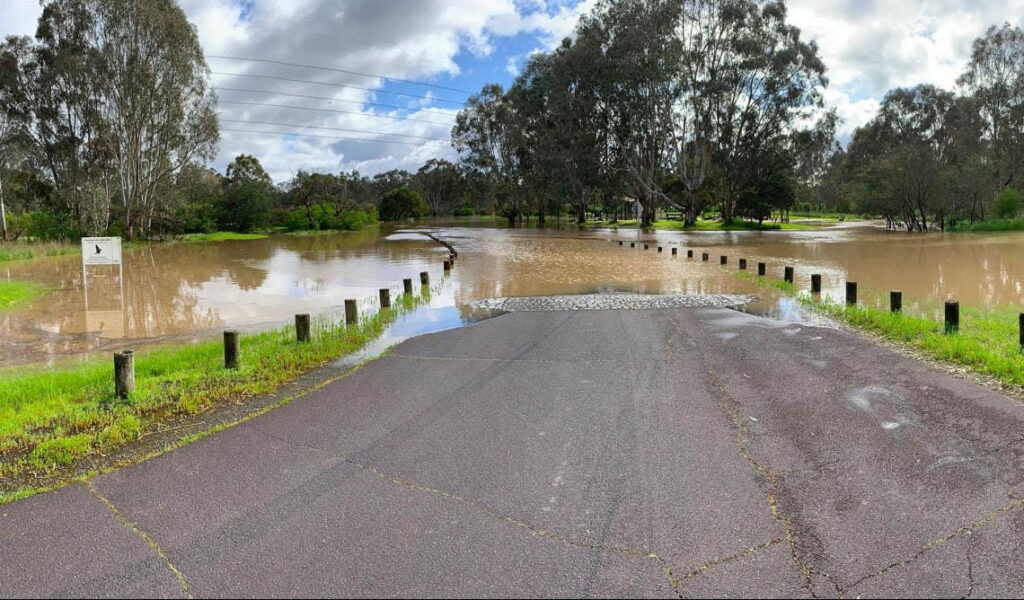
Australia is a large country with varying climates. From time to time, significant portions of the country are adversely affected by both fire and flood events. In October 2022, the state of Victoria experienced heavy rains resulting in large portions of the road network being submerged by flood waters. Whilst portions of the network were physically destroyed and required reconstruction, it was also necessary to determine how much of the network would need remedial action, ranging from resurfacing and heavy patching to structural rehabilitation.

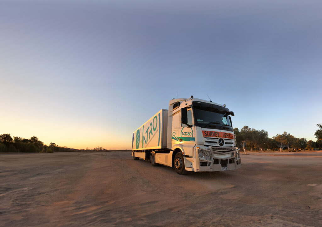
Under a collaborative arrangement and using a targeted approach, the Victorian Department of Transport and Planning (DTP) engaged the NTRO to assess the functional and structural condition of 8,500 kilometres of the state highway network, using the dual beam iPAVe technology.

NTRO iPAVE_Australia

A Rapid Response Solution

This data was evaluated against historical iPAVe data collected across the entire state in 2021 and 2022. Firstly, typical pre-flood levels of change in key pavement condition parameters were calculated using the 2021 and 2022 data sets. Then, the post-flood results were compared with the 2021 and 2022 data to identify potential flood-induced levels of change having determined the significance of the change in treatment demand, i.e. excluding badly deteriorated sections identified in previous years.

Using the above methodology, it was possible to identify around 880 kilometres of the network that would require some form of remedial action due to the negative impact of the flooding. Without the use of the iPAVe, it would not have been possible to collect this data in a relatively short time period or to identify specific high risk road sections and the type of treatment they required.