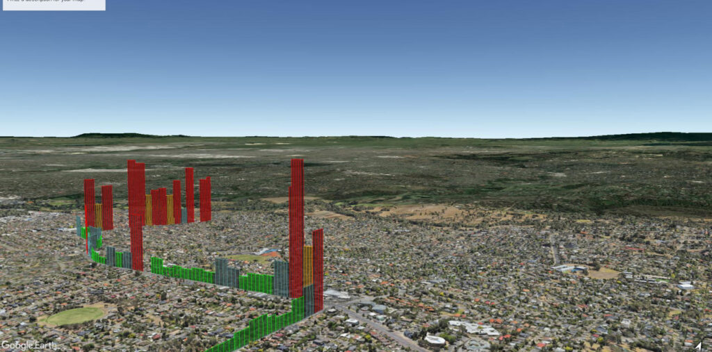
The Roughometer 4 delivers consistent and reliable road roughness measurements, unaffected by factors such as vehicle type, suspension, or passenger loads.
Accurate, reliable, and easy-to-use road roughness measurements. The Roughometer 4, a trusted industry standard for over two decades, streamlines data collection and provides valuable insights for infrastructure professionals.

The Roughometer 4 continues a tradition established over twenty years, It sets the standard for accurate and reliable road roughness measurements.


Provides simple, portable and highly repeatable measurements of road roughness

The Roughometer 4 delivers consistent and reliable road roughness measurements, unaffected by factors such as vehicle type, suspension, or passenger loads.
The integrated Bluetooth wireless distance sensor simplifies setup and operation, eliminating the need for physical connections.
Leveraging the GPS capabilities of your Android device, the Roughometer 4 provides precise location data for accurate survey mapping and analysis.
Capture essential location information for detailed analysis and correlation with road conditions.
Generate industry-standard road roughness metrics for comprehensive evaluation and comparison.
Visualize survey data on a familiar Google Maps interface for easy interpretation and analysis.
Capture audio notes and comments during surveys for additional context and documentation.
Store collected data directly on your Android device for convenient access and offline analysis.

iRAP accreditation helps ensure that iRAP assessments are performed to the same consistently high level of quality worldwide. Practitioners that are accredited can become part of a market of practitioners/suppliers that are able to bid competitively to provide iRAP-specification services.
ARRB System’s cutting-edge solutions can applied in various scenarios to enhance road safety, maintenance, and overall infrastructure efficiency.
Enter your details below to get the latest in road tech and global insights delivered straight to your inbox.