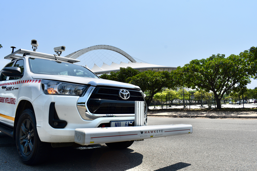
The Hawkeye 1000 Digital Laser Profiler captures detailed road information at high speeds, with easy detachability making it perfect for less frequent survey demands.
Hawkeye 1000 is a versatile road survey system designed to efficiently collect and analyze data for a range of applications. Hawkeye 1000 empowers infrastructure professionals to make informed decisions and optimize road management.
Add Your Heading Text Here
Hawkeye 1000 is a comprehensive road survey system that combines cutting-edge technology with ease of use. It is equipped with a range of sensors and cameras to capture high-quality data on road conditions.
Portability, flexibility, affordability. If these are your top priorities, then the Hawkeye 1000 Series is the right tool for the job.


The Hawkeye 1000 Digital Laser Profiler captures detailed road information at high speeds, with easy detachability making it perfect for less frequent survey demands.
Available outputs | |
Longitudinal profile | Rut index |
Roughness | GPS location/distance |
Macrotexture (MPD and SMTD) |
|
Used to capture roadside features and locate roads, the Hawkeye 1000 Digital Imaging System can be easily transferred between vehicles with its suction mount and transportable carry case.
Available outputs | |
Digital imagery | Shapefiles |
GPS location/distance |
|
The newly released GIPSI-Trac2 is the next generation GNSS + INS (Global Navigation Satellite Systems + Inertial Navigation System) geometry module.
| Available outputs | |
| Grade | Inertially corrected GNSS position |
| Cross slope | Horizontal and vertical curvature |
| Distance | |

iRAP accreditation helps ensure that iRAP assessments are performed to the same consistently high level of quality worldwide. Practitioners that are accredited can become part of a market of practitioners/suppliers that are able to bid competitively to provide iRAP-specification services.