Discover ARRB Systems, a leading provider of innovative road infrastructure solutions. Learn about our team of experts, explore our latest news and events, and discover our commitment to research and development. Join us in building a safer and more sustainable future for roads.
ARRB Systems 在开发道路状况评估设备方面拥有 30 多年的经验。
Discover the talent behind our success. Explore our team’s achievements and expertise in road infrastructure management.
Stay informed with the latest news and updates from ARRB Systems. Discover our latest projects, industry insights, and upcoming events.
Committed to excellence. Learn about our research and development initiatives shaping the future of road management.
Explore rewarding career opportunities. ARRB Systems offers a dynamic work environment and opportunities for professional growth in the field of road infrastructure management.
Discover ARRB Systems’ comprehensive suite of road infrastructure solutions. From advanced data collection tools like Hawkeye 2000 and iPAVe to powerful analysis platforms like Hawkeye Insight, we offer innovative solutions for accurate road roughness measurements, pavement assessment, and asset management.
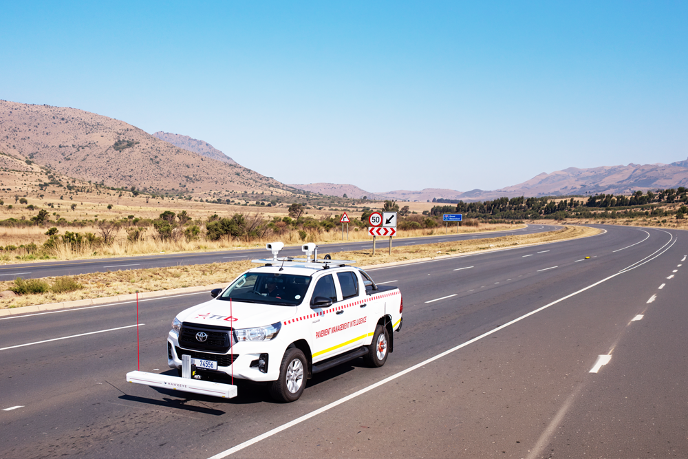
鹰眼 2000 是一种全面的道路数据采集系统,可为高效的道路管理提供准确可靠的信息。其先进的功能和多功能性使其成为各种规模道路勘测的理想选择。
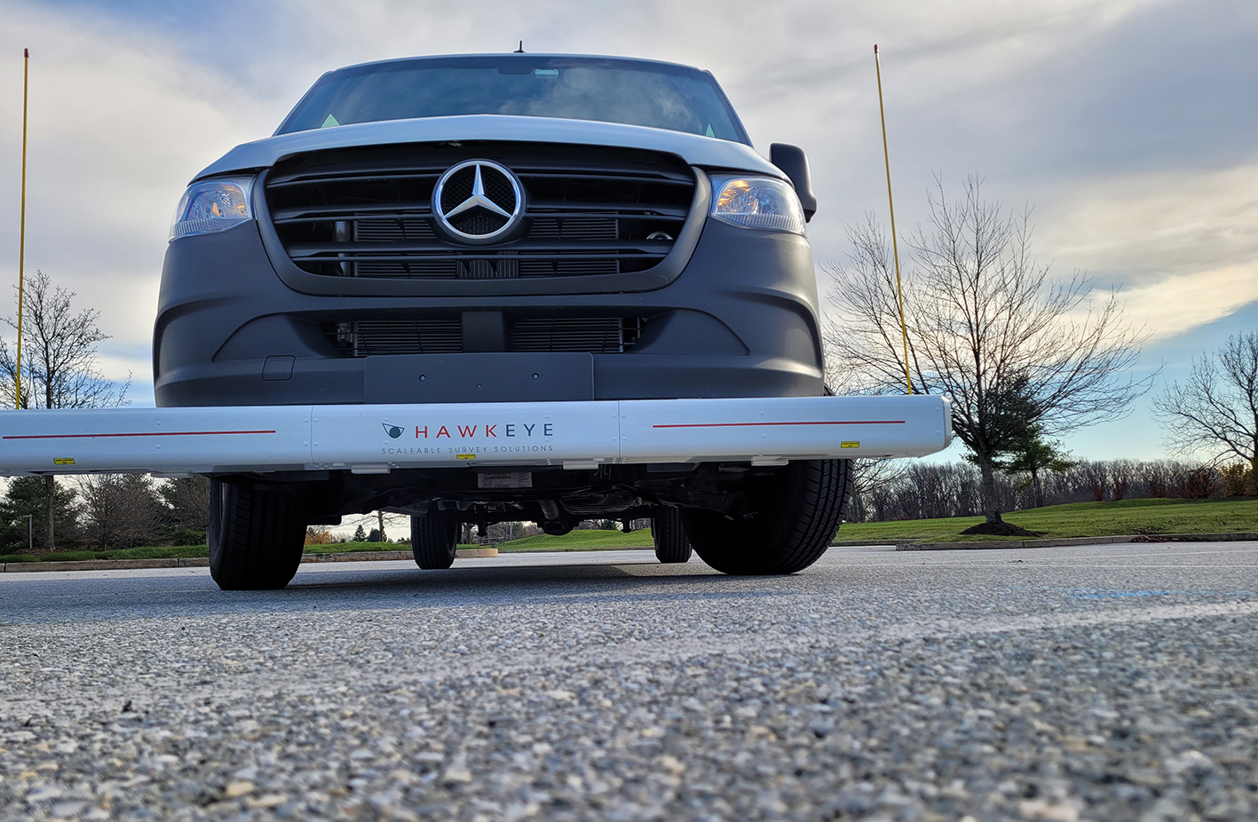
鹰眼 1000 是一种便携式、经济实惠的道路数据采集系统,是为各种道路管理应用采集高质量剖面和视频数据的理想之选。
Accurate, reliable, and easy-to-use road roughness measurements. The Roughometer 4, a trusted industry standard for over two decades, streamlines data collection and provides valuable insights for infrastructure professionals.
Walking Profiler G3 是一种高精度测量仪器,用于以真实步行速度收集表面状况信息。
体验ARRB Systems道路基础设施服务的强大功能。我们创新的iPAVe 和iSAVe 解决方案提供先进的数据收集和分析功能,用于精确的路面评估和资产管理。通过我们的专业服务,提高道路安全、效率和可持续性。
智能路面评估车是世界上第一个也是唯一一个全面的路面测量系统,可在高速公路上提供结构和路面状况数据。
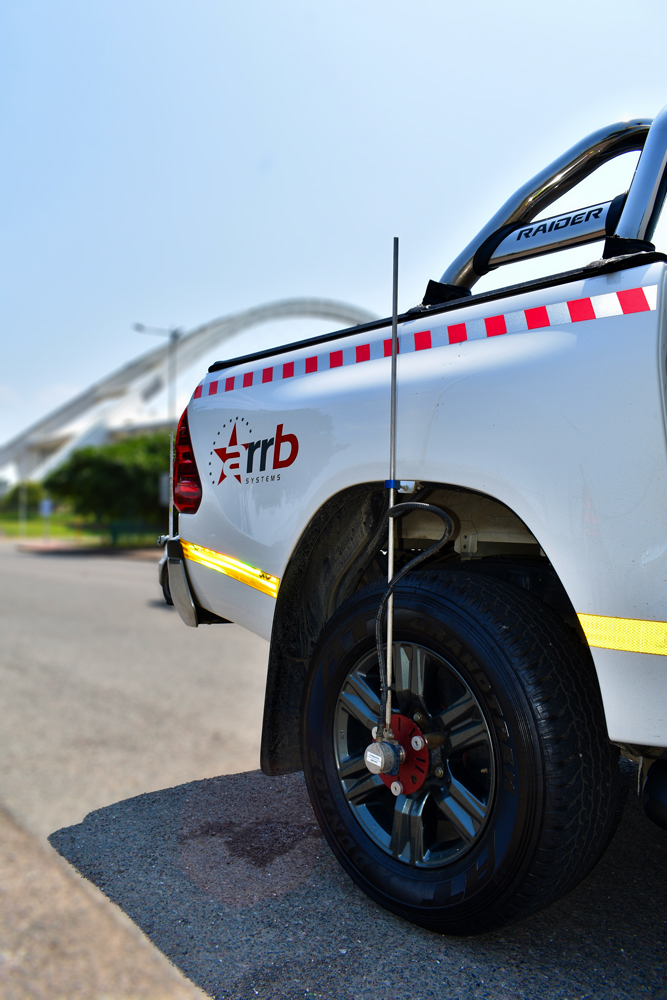
智能安全评估车是一个重要工具,可用于定位可能关系到驾车者生死的区域,包括需要进行重要车辆操纵时路面抓地力不足的区域。
ARRB Systems 提供量身定制的解决方案,利用最佳实践和先进技术在全球范围内创建更安全的道路网络。
Gain actionable insights with Hawkeye Insight. Our comprehensive platform provides data-driven solutions for road asset management and maintenance.
Hawkeye Insight is a powerful web-based viewing tool that enables the visual assessment of collected data, in a simple, user friendly format.
鹰眼处理工具包是一个专业但易于使用的界面,可对所有收集到的道路信息进行准确处理、分析和管理。
鹰眼 1000 是一个多功能道路勘测系统,设计用于有效收集和分析各种应用的数据。 鹰眼 1000 使基础设施专业人员能够做出明智的决策并优化道路管理。
在此处添加标题文本
Hawkeye 1000 是一种综合道路勘测系统,集尖端技术和易用性于一身。它配备了一系列传感器和摄像头,可采集高质量的路况数据。
便携、灵活、经济实惠。如果这些都是您最优先考虑的因素,那么鹰眼 1000 系列就是最合适的工具。
鹰眼 1000 数字激光轮廓仪可高速捕捉详细的道路信息,易于拆卸,非常适合不太频繁的勘测需求。

可用输出
纵向剖面
车辙指数
粗糙度 (IRI、NAASRA、Ride Number、HATI)
GPS 定位/距离
宏观纹理(MPD 和 SMTD)
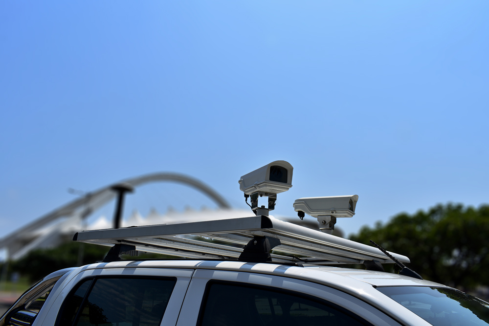
鹰眼 1000 数字成像系统可用于捕捉路边特征和定位道路,其吸附式支架和便携式手提箱可在车辆之间轻松转移。
数字图像
形状文件
新发布的 GIPSI-Trac2 是下一代 GNSS + INS(全球导航卫星系统 + 惯性导航系统)几何模块。
iRAP 认证有助于确保 iRAP 评估在全球范围内始终保持同样的高质量水平。获得认证的从业人员可以成为从业人员/供应商市场的一部分,通过竞标提供具有竞争力的 iRAP 规范服务。
Enter your details below to get the latest in road tech and global insights delivered straight to your inbox.