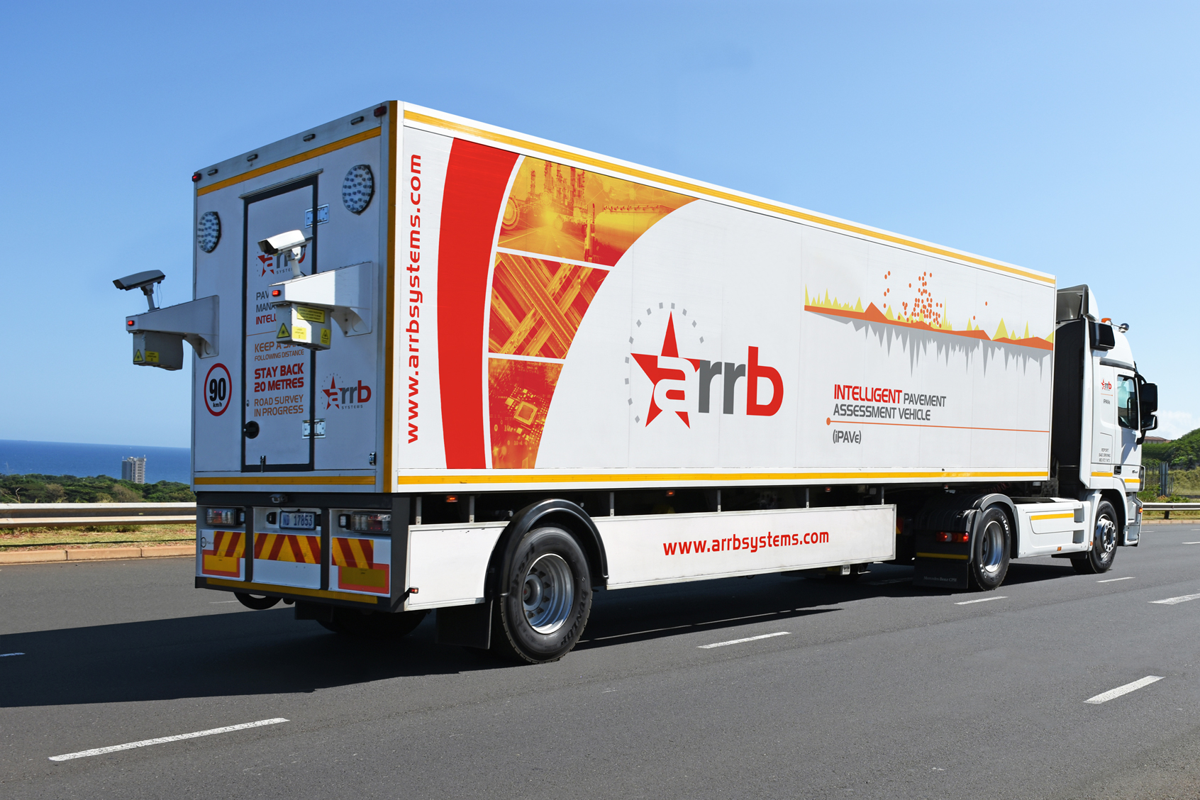
The iPAVe provides continuous pavement deflection profiles, from which bearing capacity indices can be derived and pavement fatigue can be estimated.
This high accuracy and resolution enable engineers to pinpoint hidden areas where the pavement structure is failing, adding an entirely new dimension to traditional network evaluation.
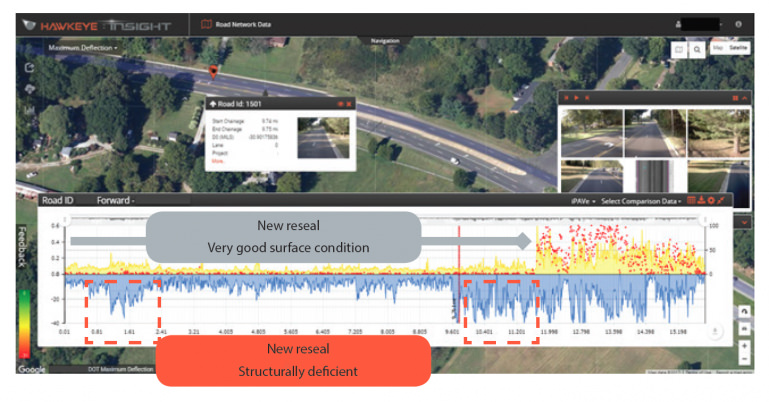
Real-World Case Study: The 26km Sample Deflection Test
Consider a newly paved 26km stretch of road where a thin overlay was recently completed along the first 19km due to high levels of roughness, rutting, and cracking:
The Problem: Traditional surface testing suggested a simple overlay would fix the road.
The iPAVe Discovery: Our structural data revealed two severe, underlying pavement structural problem areas beneath the surface.
The Consequence: Because these hidden issues weren’t treated, the new overlay will suffer premature failure.
The Lesson: Had this road undergone a structural pavement assessment with the iPAVe prior to the overlay, engineers could have performed a full rehabilitation in those specific spots—saving massive budget percentages by deploying a highly effective treatment solution from day one.
全面的数据收集
The iPAVe gathers a wide range of data on structural and functional parameters, acting as a complete road condition assessment system in a single pass. By capturing surface characteristics, structural strength, and geometric information simultaneously, it allows asset managers to conduct a holistic assessment of network-level road health.